Basemap

Basemap Hunt planning app
- Research.
- Scout.
- Navigate.
- Hunt.
Background
The US hunting industry revenue is estimated to be around $599m and has approximately 14,354 Businesses. There are no companies with a dominant market share in this industry, as no company provides entire tool sets and maps needed for a hunter.
With the advancement of technology, BaseMap plans to provide the required set of tools and maps to encourage more hunting among those who already have the skills and enjoy the sport.
BaseMap aims to be a one-stop shop for all hunting needs.
Challenge
Hunting Data can be broken down into:
- Map Layers
- Research Data
This data is not readily available and is very expensive. Data for one state can cost $130-$180 per year, and nationwide coverage can cost $1000+ per year.
Currently, no technology can “Aggregate” valuable data and make it available in a single place.
Solution
The opportunity
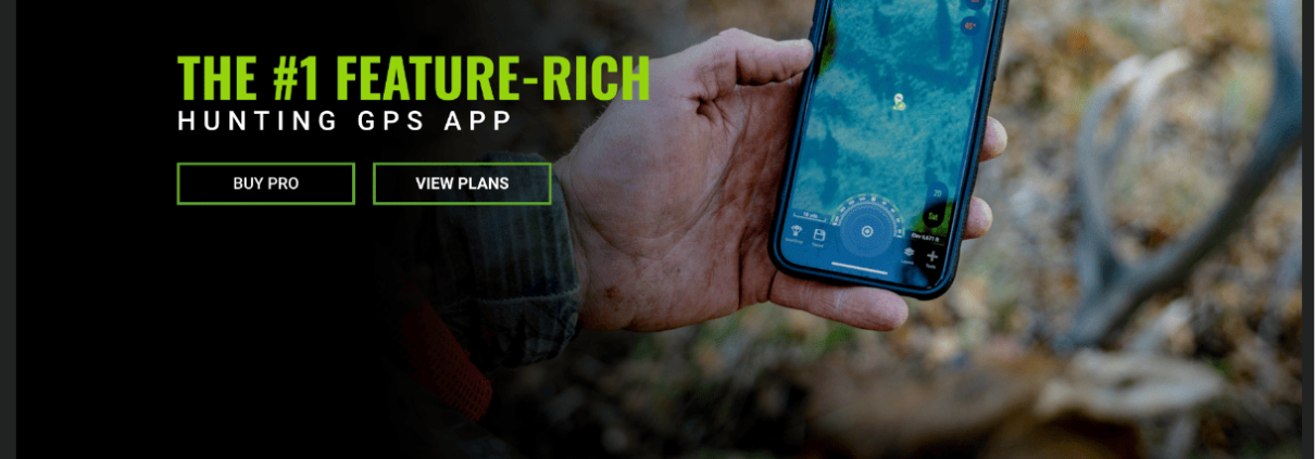
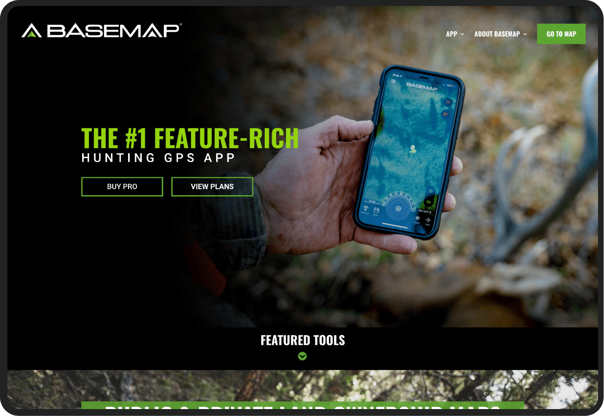
BaseMap aggregates useful hunt data and makes it available for the hunters to plan their hunts like never before. BaseMap provides the required features to:
- Research
- Scout
- Navigate
- Hunt
The process
A team of 6 members led by 1 Project Manager drove the project to success with the latest technologies and a beautiful UI.
Process Highlights
- Understanding and documenting detailed requirements
- Click-through wireframes for web and mobile
- ESRI’s GIS mapping platform (ArcGIS) integration
- Web and mobile development team working seamlessly
- Extensive real time field testing
A systematic method to get to solutions
- Wireframes
- Prototypes
- Coding
- Testing
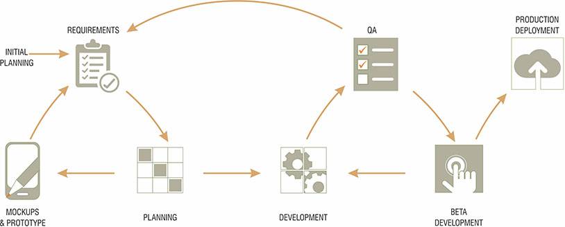

- BaseMap platform allows a hunter to research & scout for a hunt using the web app. BaseMap Android and iOS mobile apps are used for navigation during an actual hunt.
- BaseMap platform integrates the latest and popular GIS Mapping technology from ESRI. GIS technology bundled with aggregated research data provides a complete toolset for a hunter.
Technology Used
Prototyping
 Axure
Axure Photoshop
Frontend & Backend
 Meteor
 Esri
Esri
Database
 MongoDB
Testing
 Selenium
Solution highlights
Web App
- Hunt Finder for comparing hunt options and shortlisting hunts
- Map Engine with multiple base maps such as World Imagery, USA Topo, Terrain, Streets
- Research Data, including interactive Harvest Data, Draw Odds, Data, License/Tag Fees, Application Dates, and much more
- Scout Hunt for adding waypoints, routes, measuring distances, and adding notes
- Photo Management
Mobile App
- Sync Hunts
- Weather: Current & 7-day forecast
- Sunrise/Sunset times: Current & for the next 7 days
- Moon Phases: Current & for the next 7 days
- Navigation tracking: Distance traveled, Trip time, Avg Speed, Elevation
- Compass
Values Propositions
- Access to maps designed by hunters and for hunters
- Unique heat maps for drawing odds and harvesting data
- Powerful research tools to eliminate the unknowns
- Create an unlimited number of hunts and access from a computer or phone
- Helpful tools for organizing, saving, and sharing hunts
- Yearly membership includes multiple state maps and data coverage & free mobile app.
Web & App Screenshots
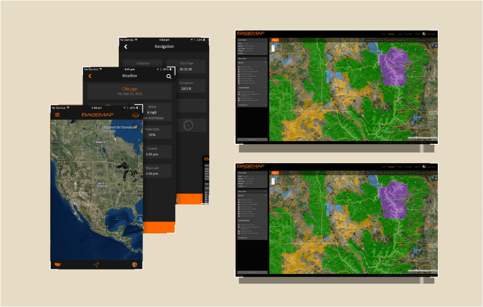
BaseMap – A TRUE Hunting App for Big Game Hunters!
Summary
BaseMap went live with the web app version only and, within a very short period, has 300+ registered users. Many users have appreciated the research data available in BaseMap. Mobile apps are in beta release, and beta users are highly impressed with the feature set. Mobile apps will have a public release soon.

Customers Speak
Got my moose tag in the mail today!!!. Thanks BaseMap for helping me find a good Idaho unit!!!
– Dave K.
Found this unit with BaseMap and then drew my moose tag! Expecting big things out of this year!
– Justin G.
